Following The Goonies
Words: Pete Harrington
Photos: Rob Horwitz

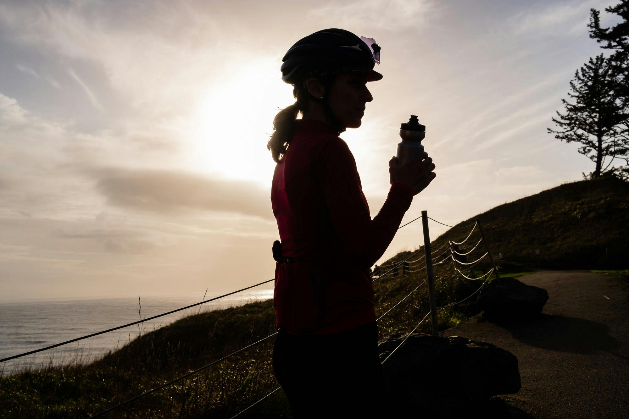
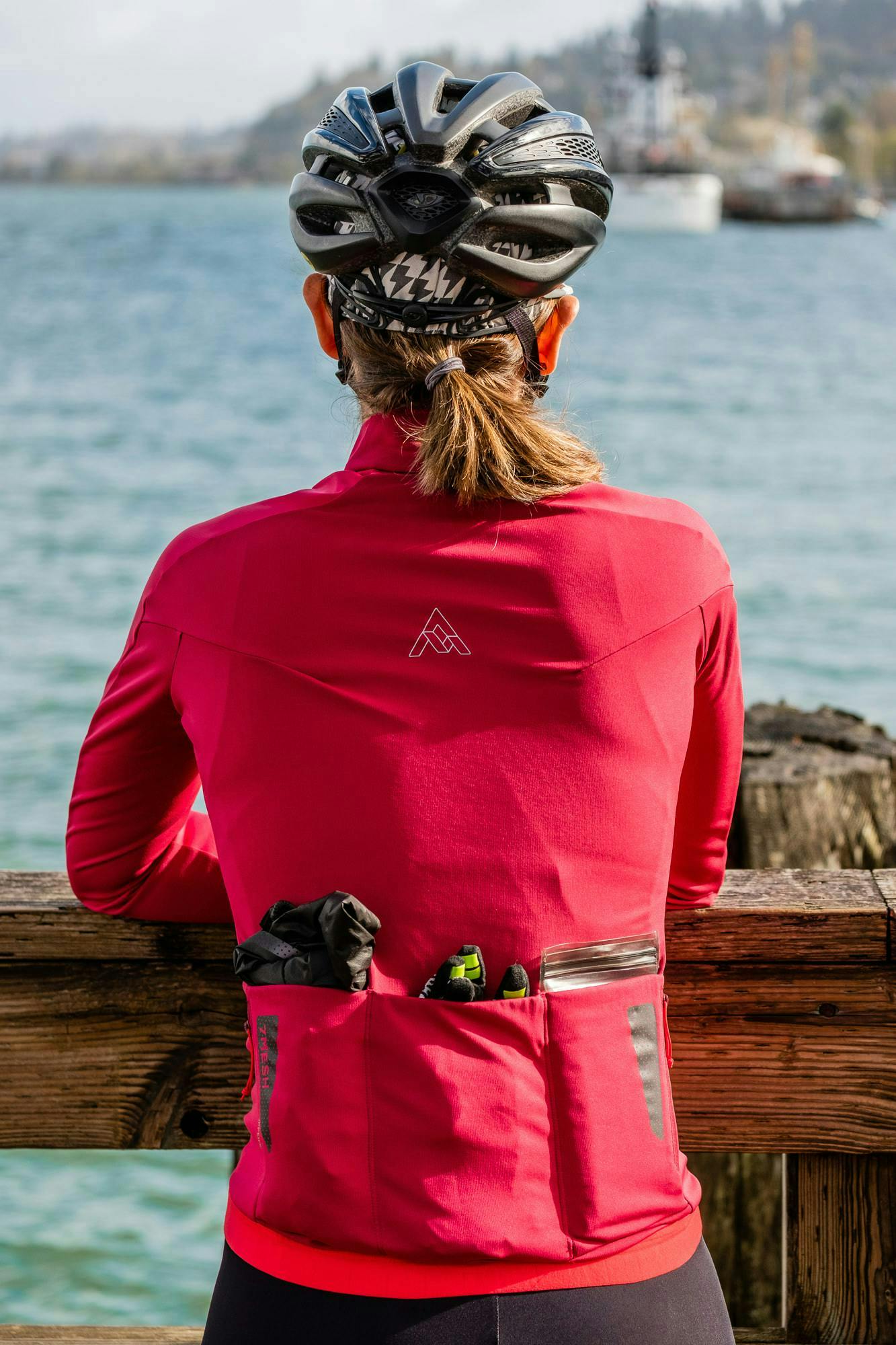
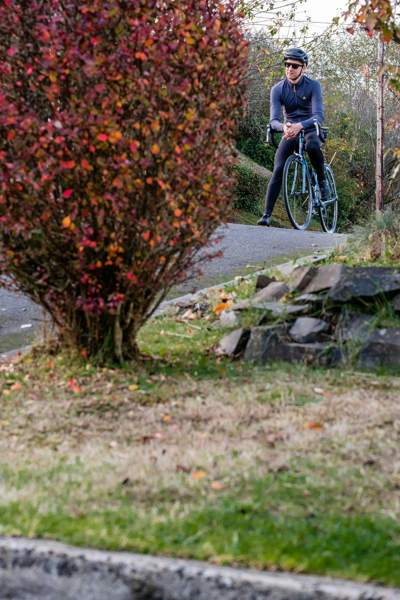
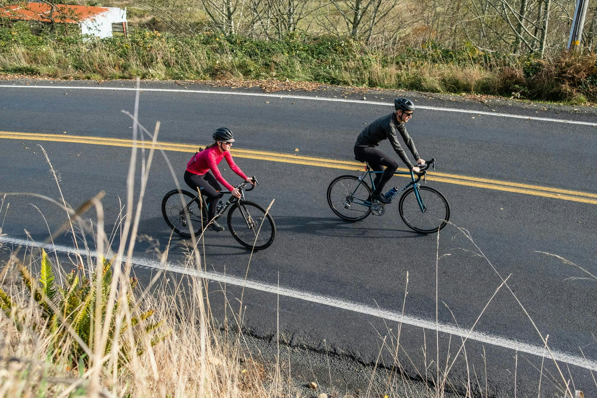
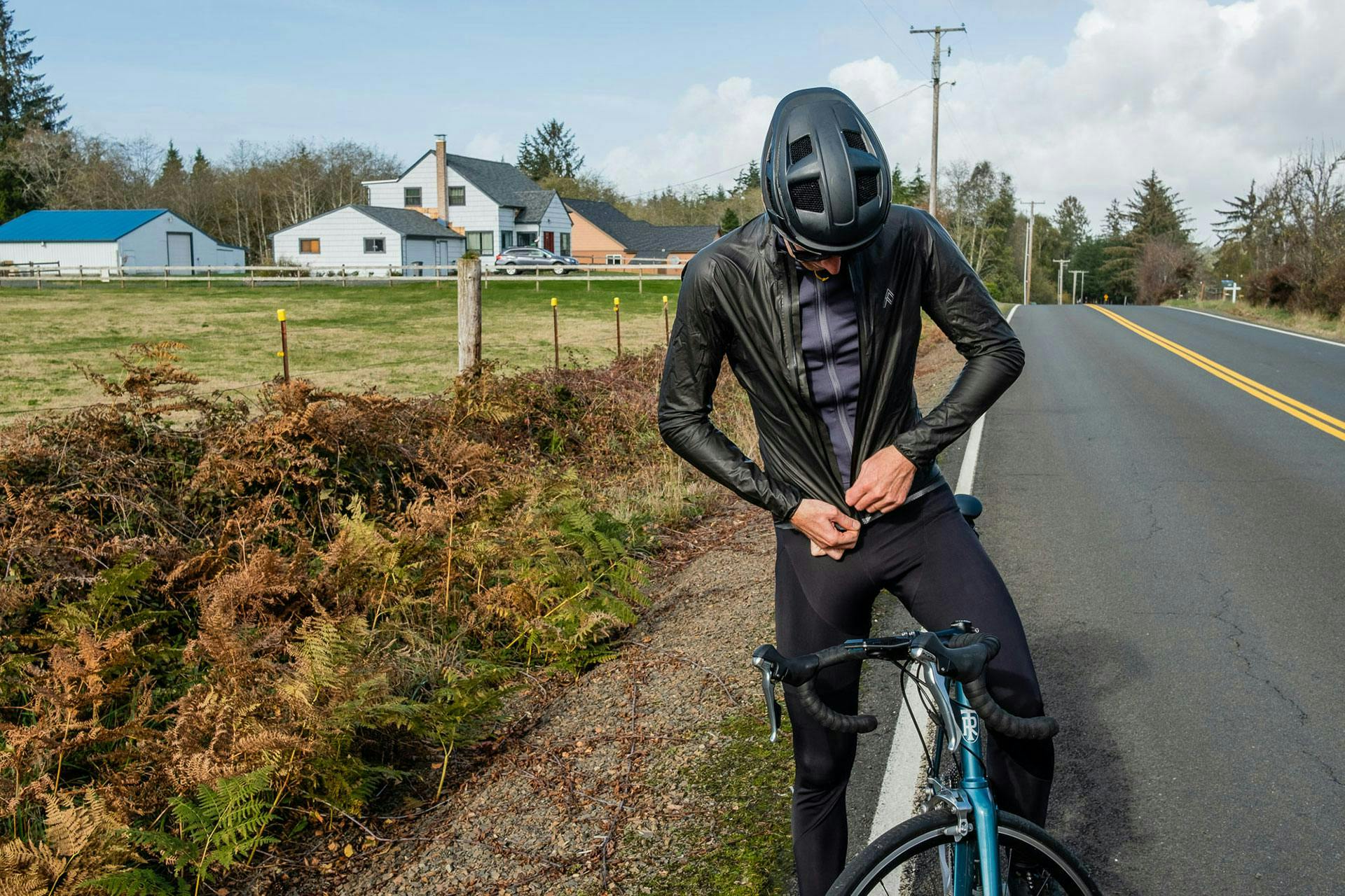
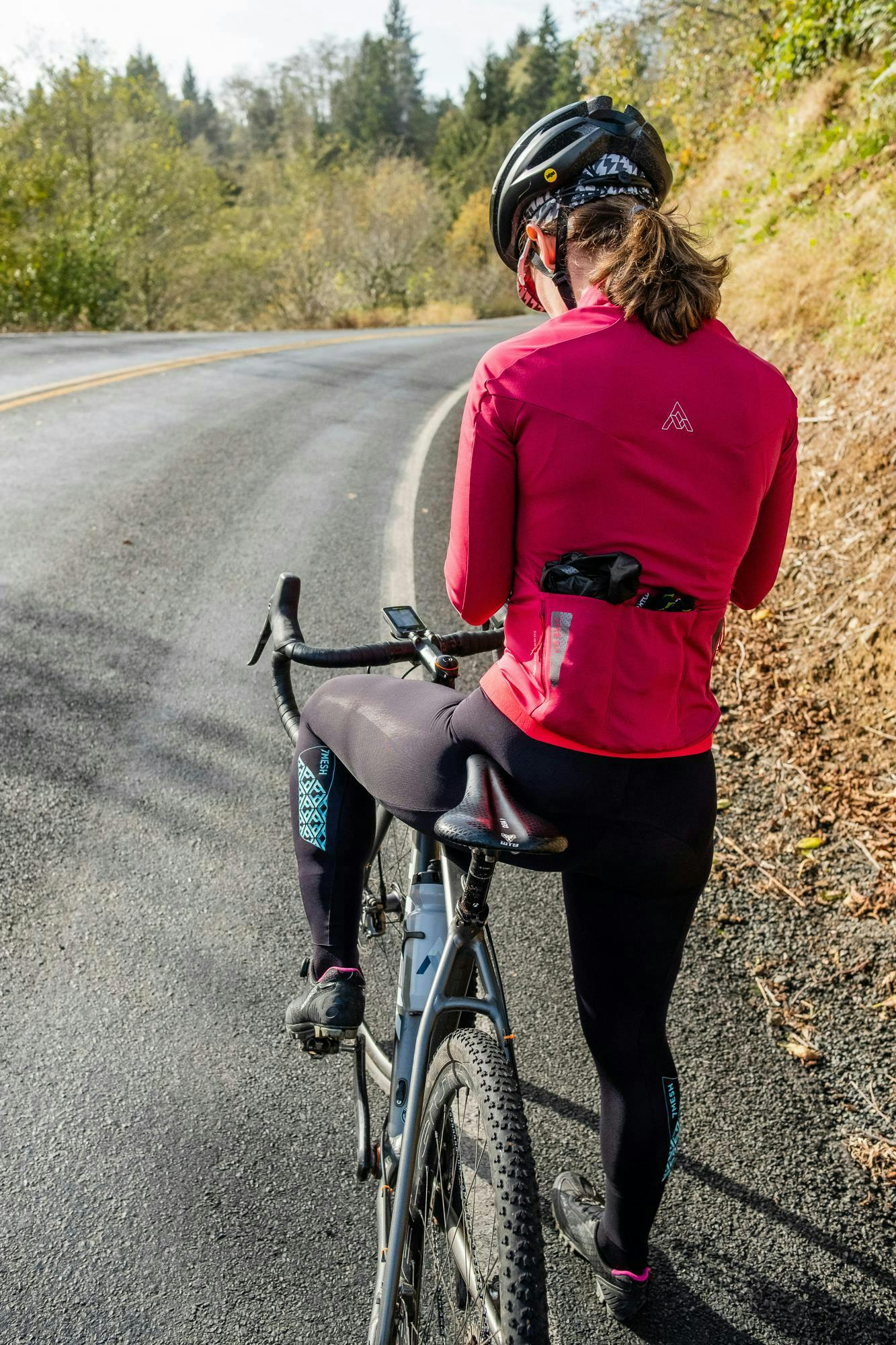
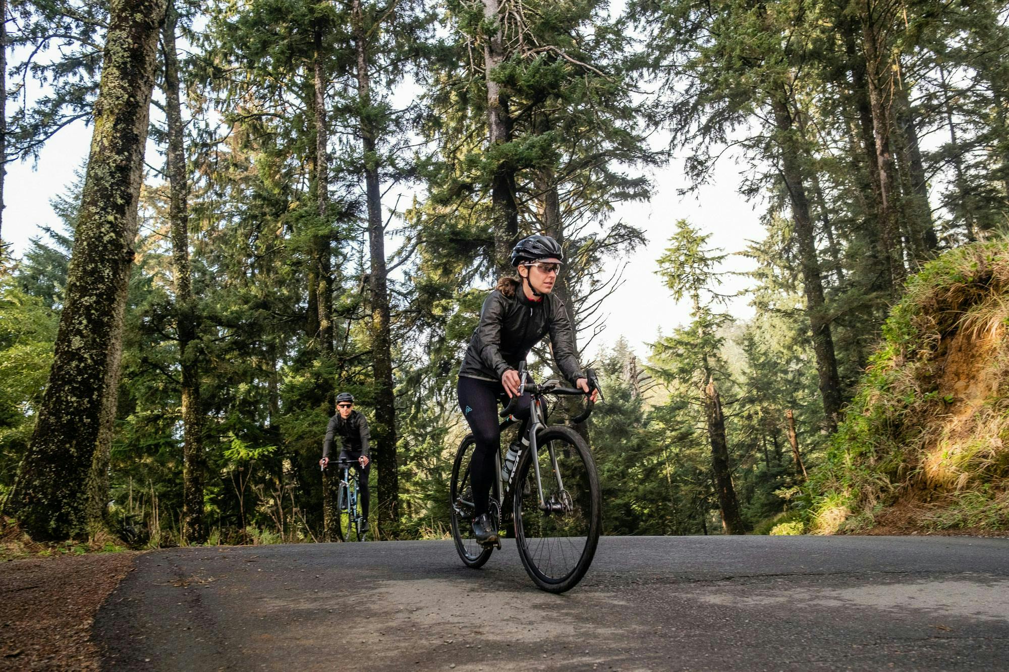
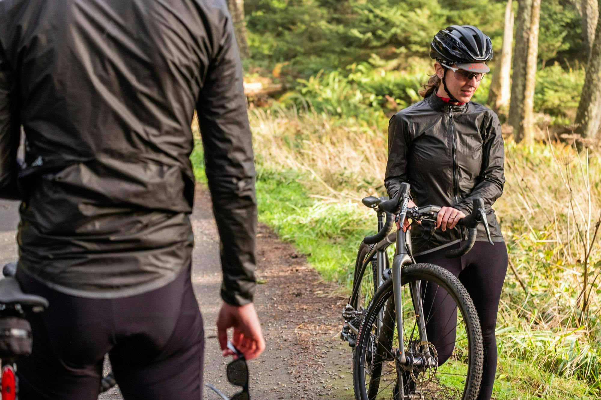
For a certain generation, few films hold the enduring appeal of The Goonies – ’80s inspiration to every wheezy-chested kid who struggled to find their place. 7mesh contributor Pete Harrington recently moved from London to Portland in the Pacific Northwest, and once there, it didn’t take him long to realise that Astoria, home of Mikey’s house and a hundred other scenes from the film, is an actual real-life port city only 80 miles away on the Oregon Coast. He had to ride it. Joining him would be friends Abby Watson, and hanging back (and sometimes, off things), Rob Horwitz to take shots of the day. Here’s their ride report.
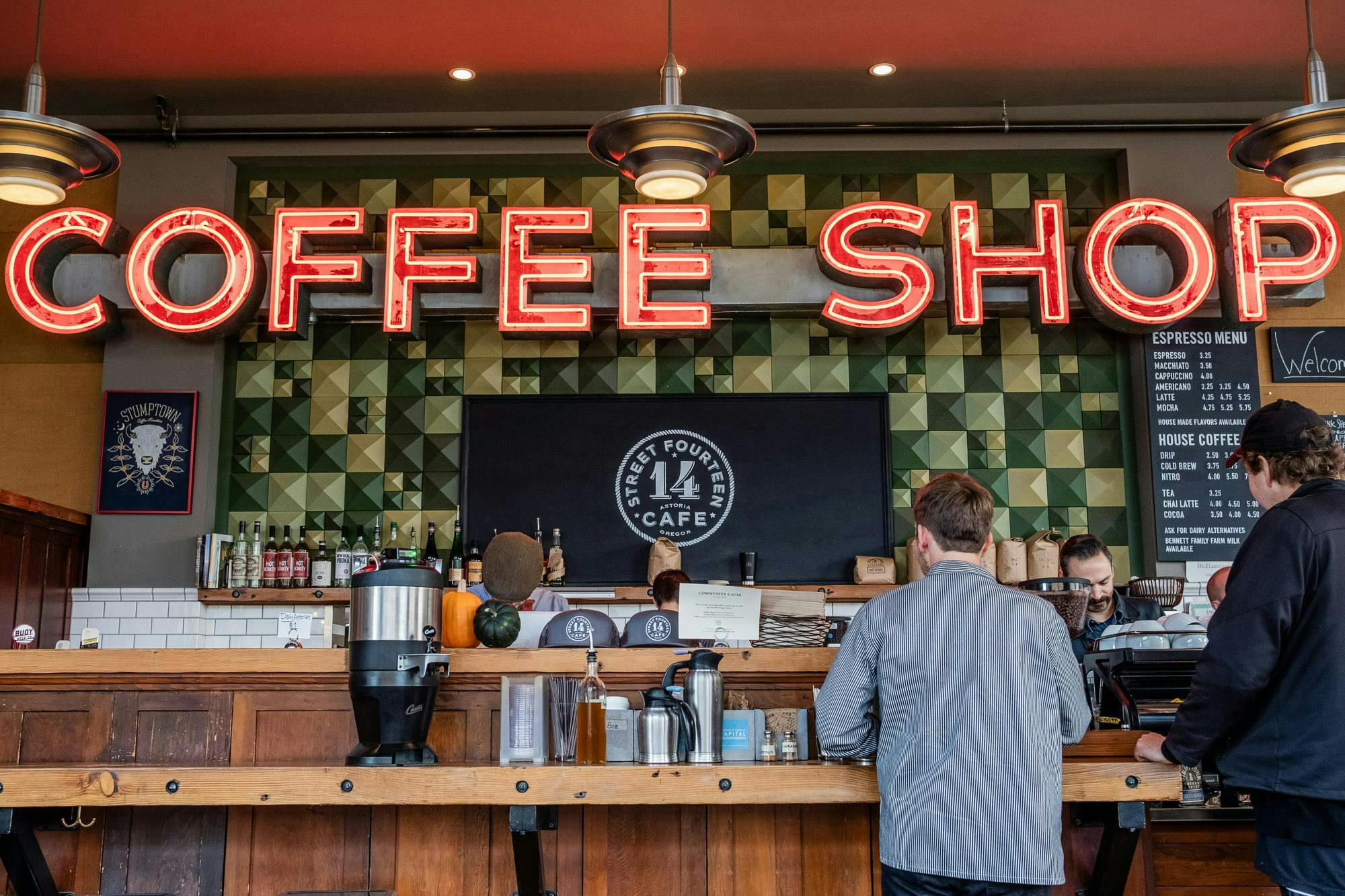
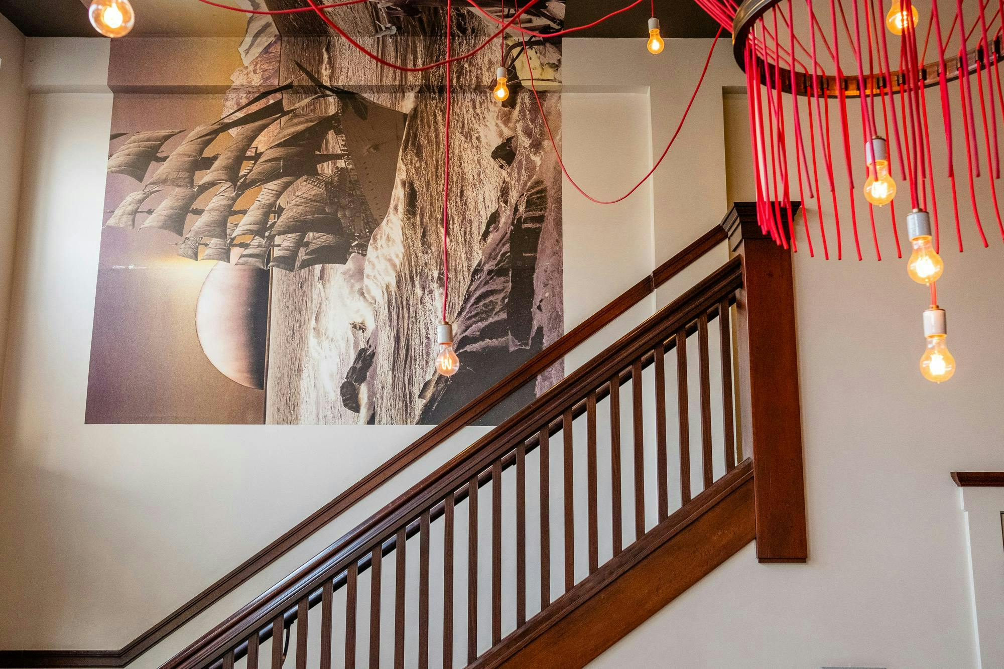
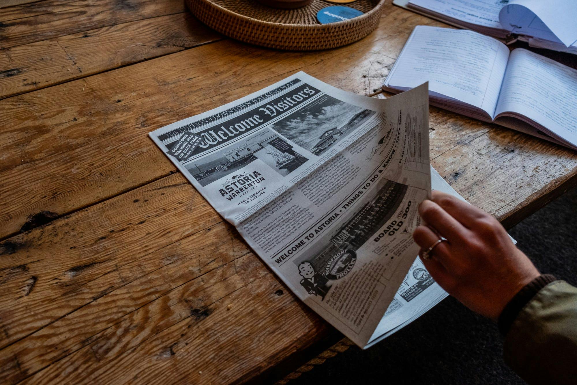
The Commodore Hotel in Astoria is a little piece of Portland on the coast – and the good kind too. Stylish, reasonably priced and friendly, it adjoins the light and spacious Street 14 Cafe, where we decamped early one Saturday morning in November to sip on generous mugs of coffee and chat through the ride ahead.
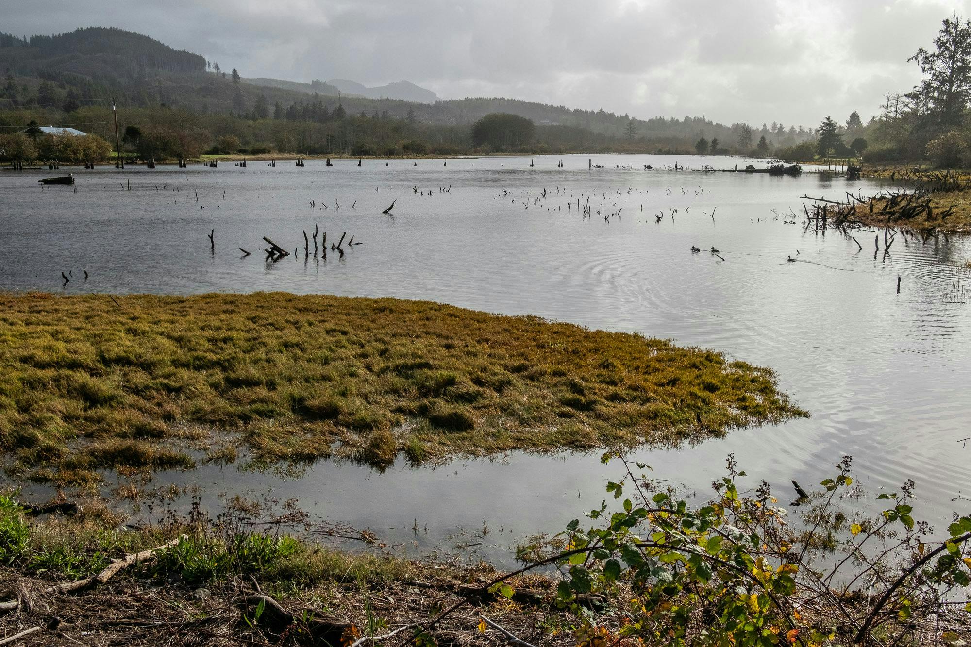
The plan was simple: hit the Goonies tourist trail in Astoria, before cycling a couple of hours south to Cannon Beach (scene of the truck race the Fratellis join to evade the police in the opening sequence) via Ecola State Park, entrance to One-Eyed Willy’s underground caves, and where Brand famously lost his training wheels.
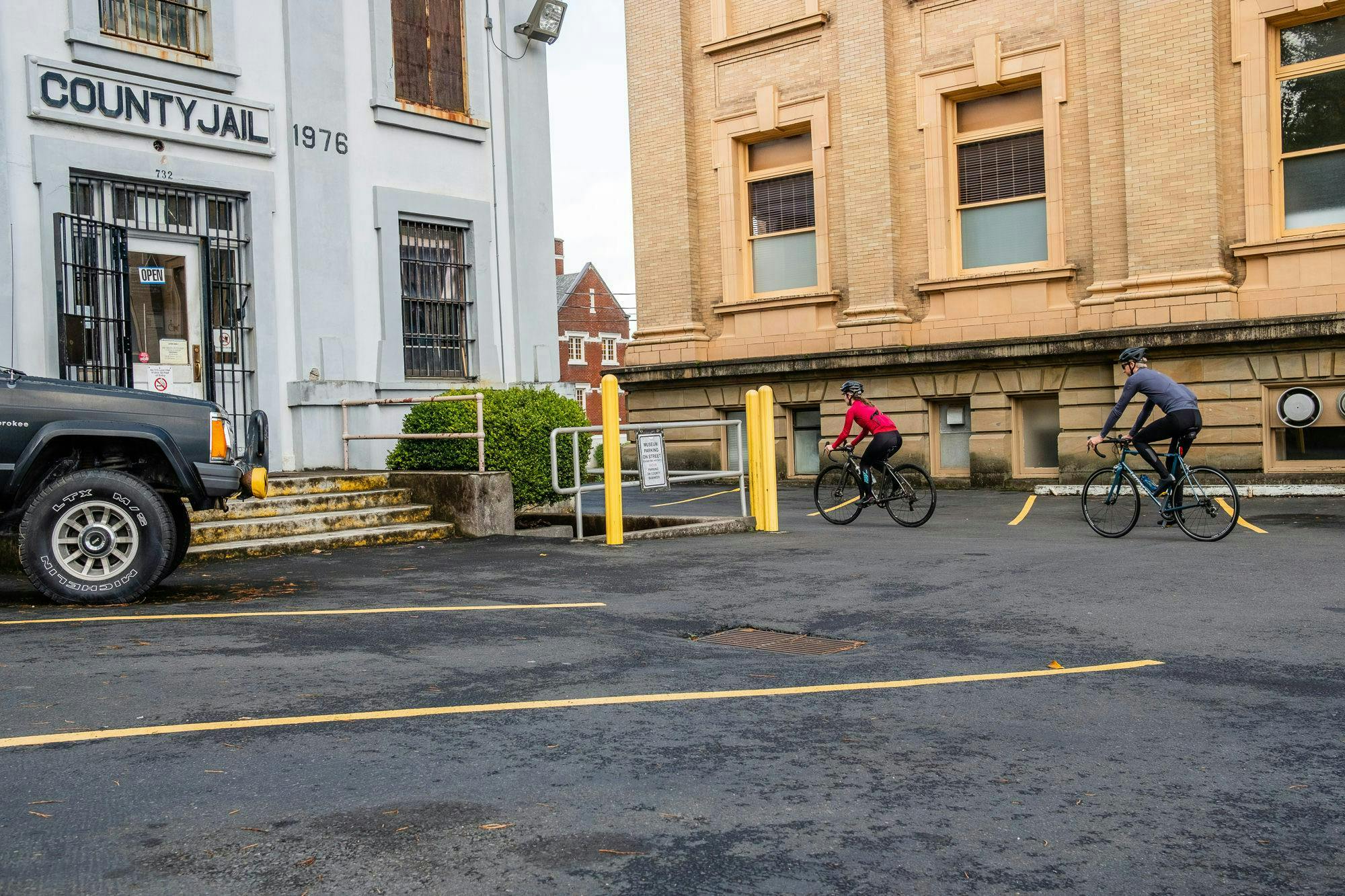
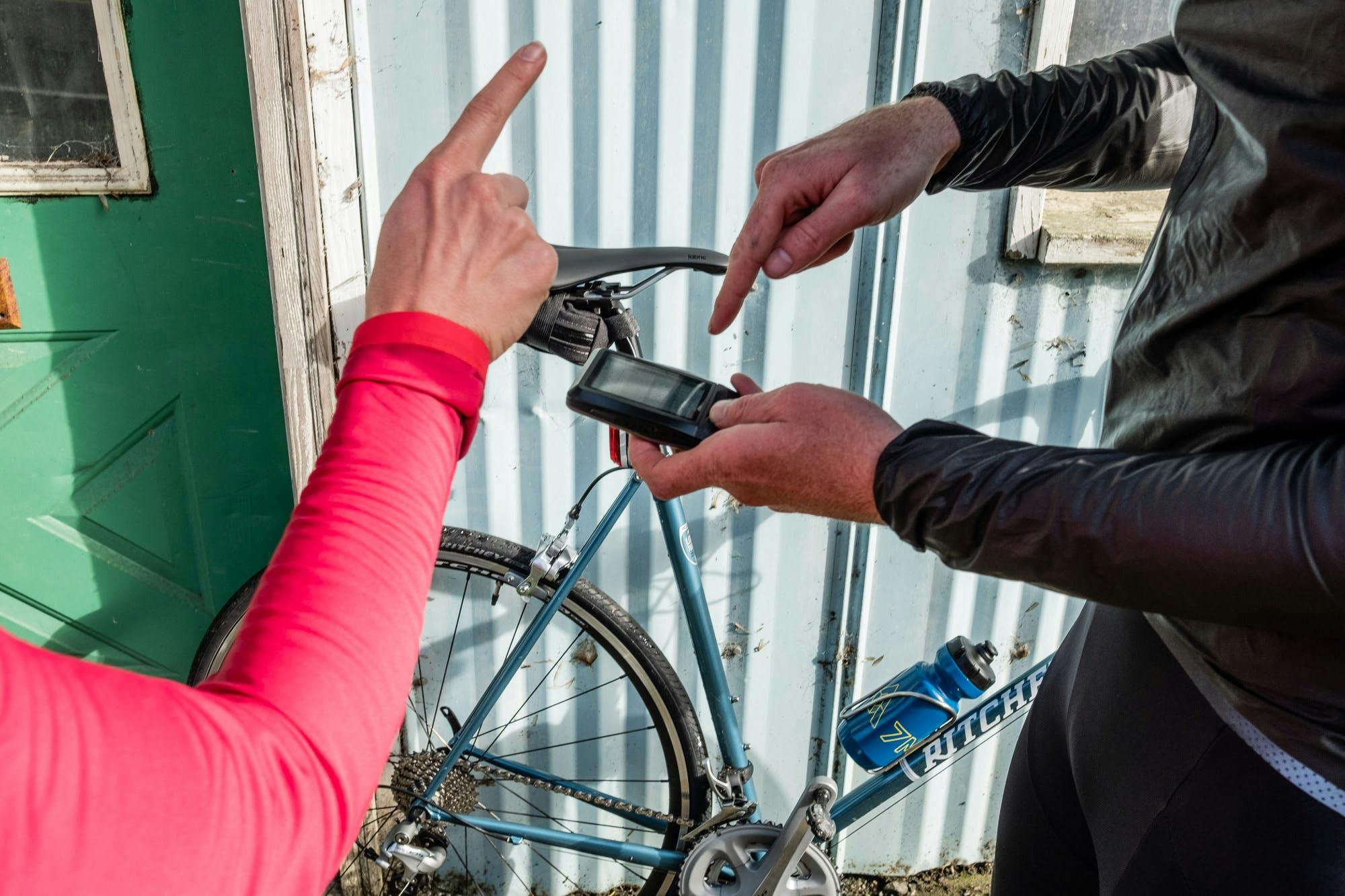
With Abby and Rob checking out the Goon Docks (actual docks, but sadly not a real name), I synced One-Eyed Wahoo with the Ride With GPS route I’d made earlier, before deciding to use the device’s nimble ‘Take Me To’ feature while we were still in and around Astoria. A quick search for the old Clatsop County Jail, scene of the Fratelli’s jailbreak, and we were off.
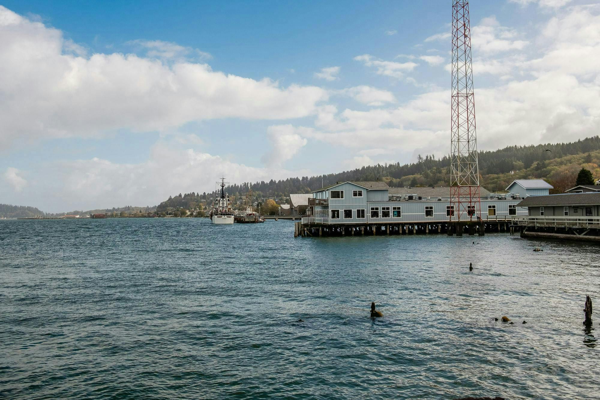
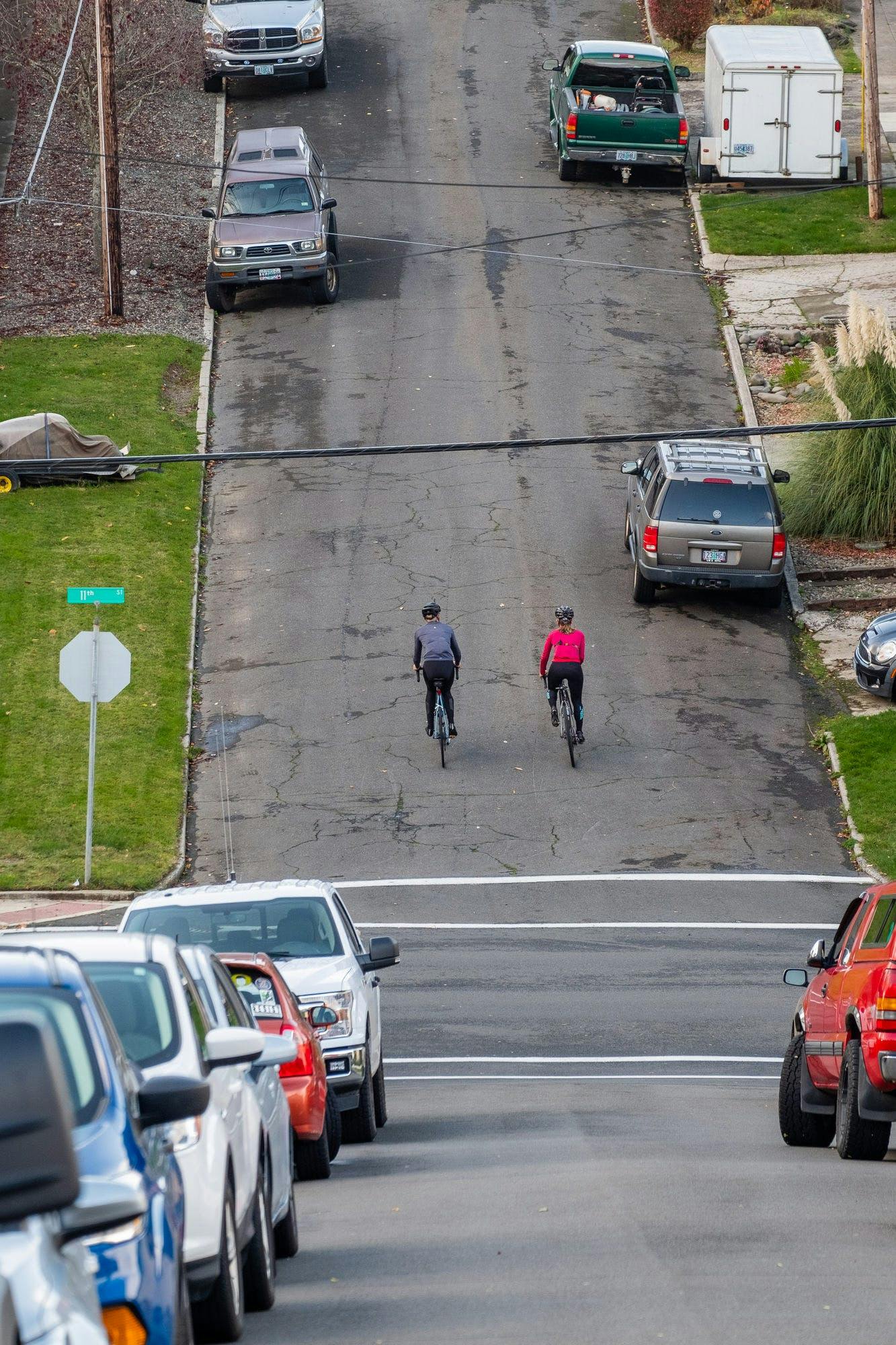
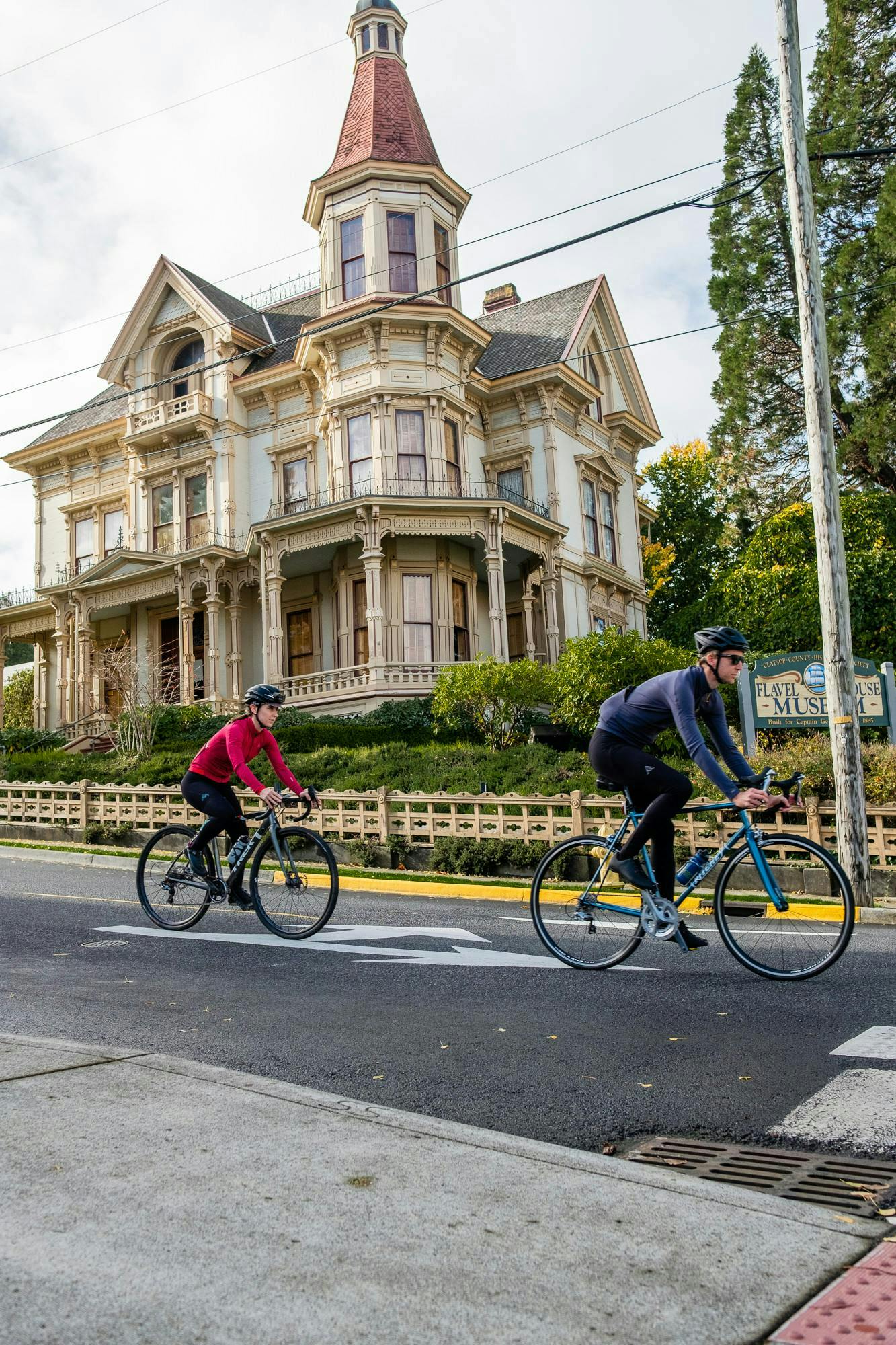
“It even has the bullet holes!” Rob is thrilled. Out front of what has been the Oregon Film Museum since 2010, sits the Fratelli’s Jeep. But in ‘Hollywood North’, there’s a lot more than just Goonies memorabilia inside: Kindergarten Cop, Short Circuit (Johnny 5 is alive!) and Free Willy were all filmed in and around Astoria. And after a quick pass of the Flavel House Museum (where Mikey’s Dad works in the film – he’s hanging the flag as the boys BMX by) it was Schwarzenegger’s school itself we were passing en route to Mikey’s house a mile or so along the waterfront. Forewarned through online research that visitors would not be tolerated anywhere near the house, we nevertheless decided to chance a visit.
They must have had body heat sensors, maybe even seismic motion detectors. We’d only been at the bottom of the ramp that leads up to Mikey and Data’s house for a few seconds when a monstrous 4×4 (the only kind in rural Oregon) crept down the drive, slowed to a stop and began idling at the bottom. “Quick, pretend like we’re lost,” whispered Abby. “Point in different directions, that always works!”
“I think she’s on to us guys,” Rob said after a few seconds, slowly turning to look over his shoulder to meet an icy gaze cold enough to freeze at 20 paces.
“But pretending you’re lost never fails!” huffed an aggrieved Abby, struggling not to laugh as Rob comically shrugged his shoulders and suggested a route skyward.
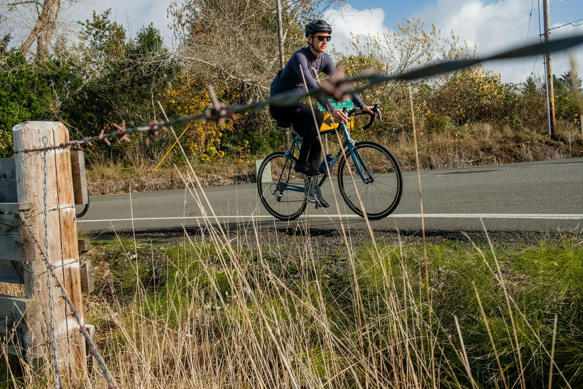
With the jig up, we decided to turn south towards our next waypoint of Melville, a small community nestled between Lewis & Clark Rd and Lewis and Clark River, only 11 miles south and roughly halfway to Cannon Beach. But first, we had to climb.
There are two ways to get south out of Astoria: take the Highway 101 bridge south-west, or head directly south across the quieter Warrenton-Astoria Highway. We chose the latter, but not before tackling a series of brutally steep ramps that eventually levelled off at 73m above sea level at Niagara Ave and 8th. “What is this, San Francisco??” said Rob, taking great gulps of air and admiring the view across the water towards Washington. Photographers don’t have it easy. First to the top, first to the bottom, and they have to lug all their gear. I vowed to have greater respect for them in the future, but not before pointing out to Rob a particular nice angle further up the hill. Quite a bit further, as it turned out.
What looks good on the map doesn’t always translate to safe riding conditions on the ground, but the brief stretch of road that spans Young’s River proved to be a reasonable choice, safe enough despite the occasional 4×4 vehicle that got a little too close for comfort. For the next couple of miles, it was all agricultural machinery and mothballed roadhouses until we kept straight to join the Lewis and Clark Rd, leaving the Warrenton-Astoria Highway to turn sharply west.
But as choices go, the Lewis and Clark Rd is cycling heaven. No cars, wholesome green views and the sort of gentle rise and fall that sees the miles tick by with almost no effort at all. Before long the road looped west over the Lewis and Clark River, before Wahoo’s bleeped prompts encouraged us to turn onto the Lewis and Clark Mainline, a trail comprising some 4,589 mapped miles of paved roads, bike paths and unpaved rail-trails stretching from Illinois to the Pacific Coast that approximates the path taken by the Lewis and Clark Expedition of 1804–06. Our short section was gravel heaven; over too soon and serving only as a linking point back to the Lewis and Clark Rd, and our waypoint of Melville.
“Is this Melville?” Rob asked, raising his eyebrows at the forlorn cow shed huddled at the side of the road.
“I wonder if anyone is home?” Abby peers through the letterbox to make the appropriate enquiries.
“Well, it has a name on the map..” I spluttered defensively. “Look, even Wahoo thinks it’s a place!”
“No coffee? Are you kidding me, Pete?” It’s never been more evident that Rob is from the East Coast.
“You know,” I wondered, “up there – way up there in the trees – I think that would make a good viewpoint for a shot.”
“Ah ok, well, can’t be helped. Probably the Wahoo’s fault. Let’s ride on.” Rob hurriedly clips in and heads around the corner, as I call up Cannon Beach’s Ecola State Park as our final destination.
Lewis and Clark Rd continues out of Melville (Population: Missing), but before long it’s all huffs and puffs as the road ascends to 114 metres. It’s a no-hill climb: at a meandering 4%, not so much visible as felt, and all the more frustrating for it. The hill finally peters out just as the road takes a decisive turn west towards the coast, briefly paralleling the 101 via N Wahanna Rd before inevitably depositing us in the unlovely town of Seaside and onto the bustle of the 101.
While Astoria is whimsical, off-kilter, cultured and, self-resurrecting, Seaside is all sprawl, Starbucks and holiday hell. But the bonk makes hypocrites of us all, which is why after sighting its familiar green-backed logo, our mini grupetto took a detour for emergency espresso and slabs of frosty-topped cake in the town’s absurdly spacious Starbucks. Revived, we re-mounted and set off to pedal the final four miles to Cannon Beach, following the frankly dangerous 101 Highway (absurdly, The Oregon Coast Bike Route).
Being buffeted by speeding traffic is no fun, despite the wide expanse of glass-filled shoulder so kindly marked out for cyclists, so it was with some relief that Wahoo emitted a discordant not-in-the-handbook bong, and directed us to turn right off the 101 and onto an inviting section of hard-packed gravel a mile or so south of Seaside.
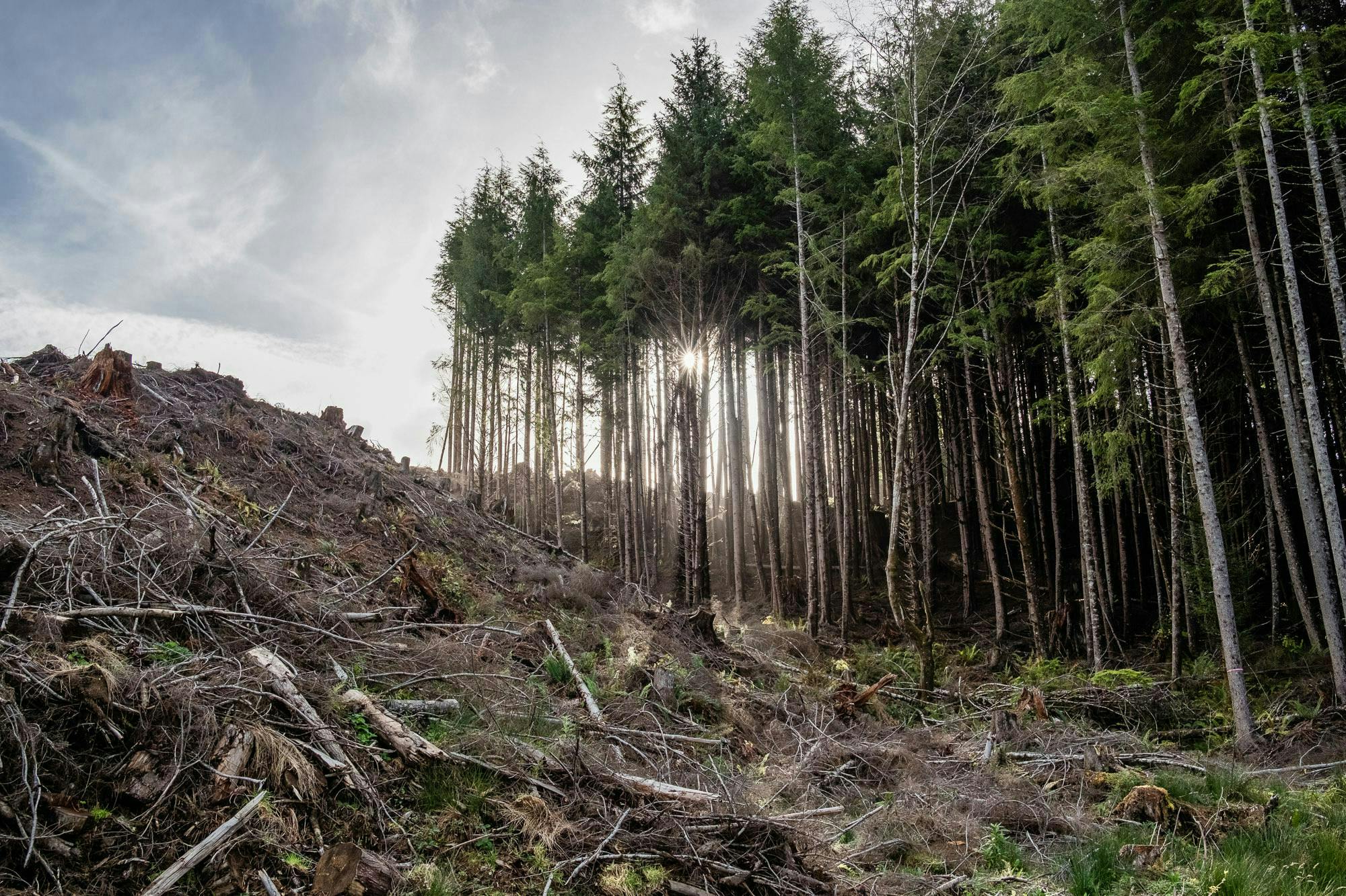
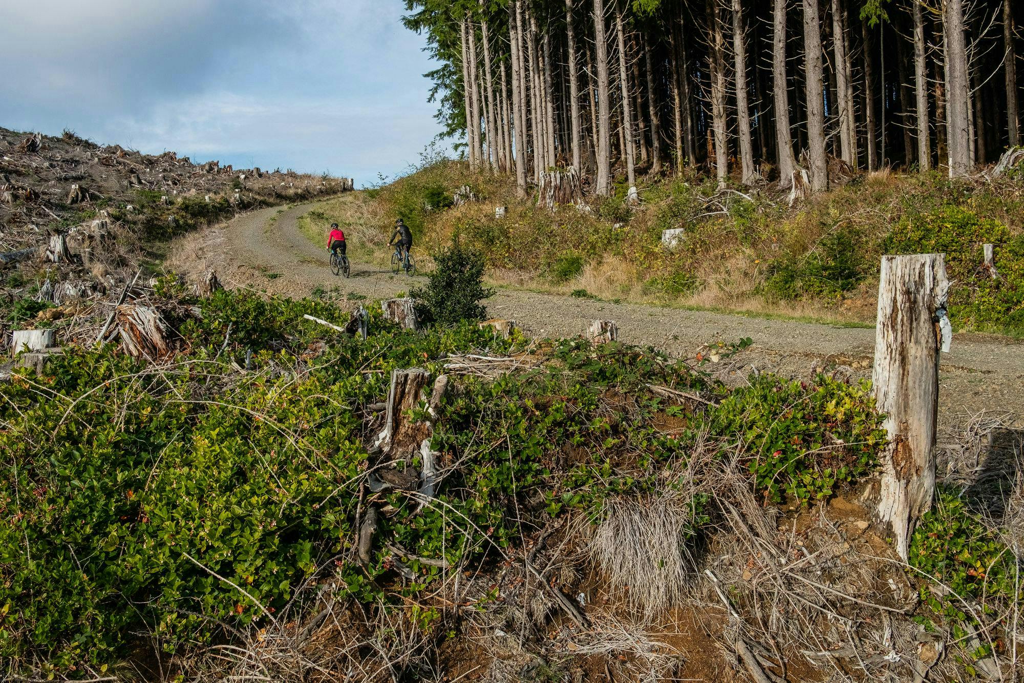
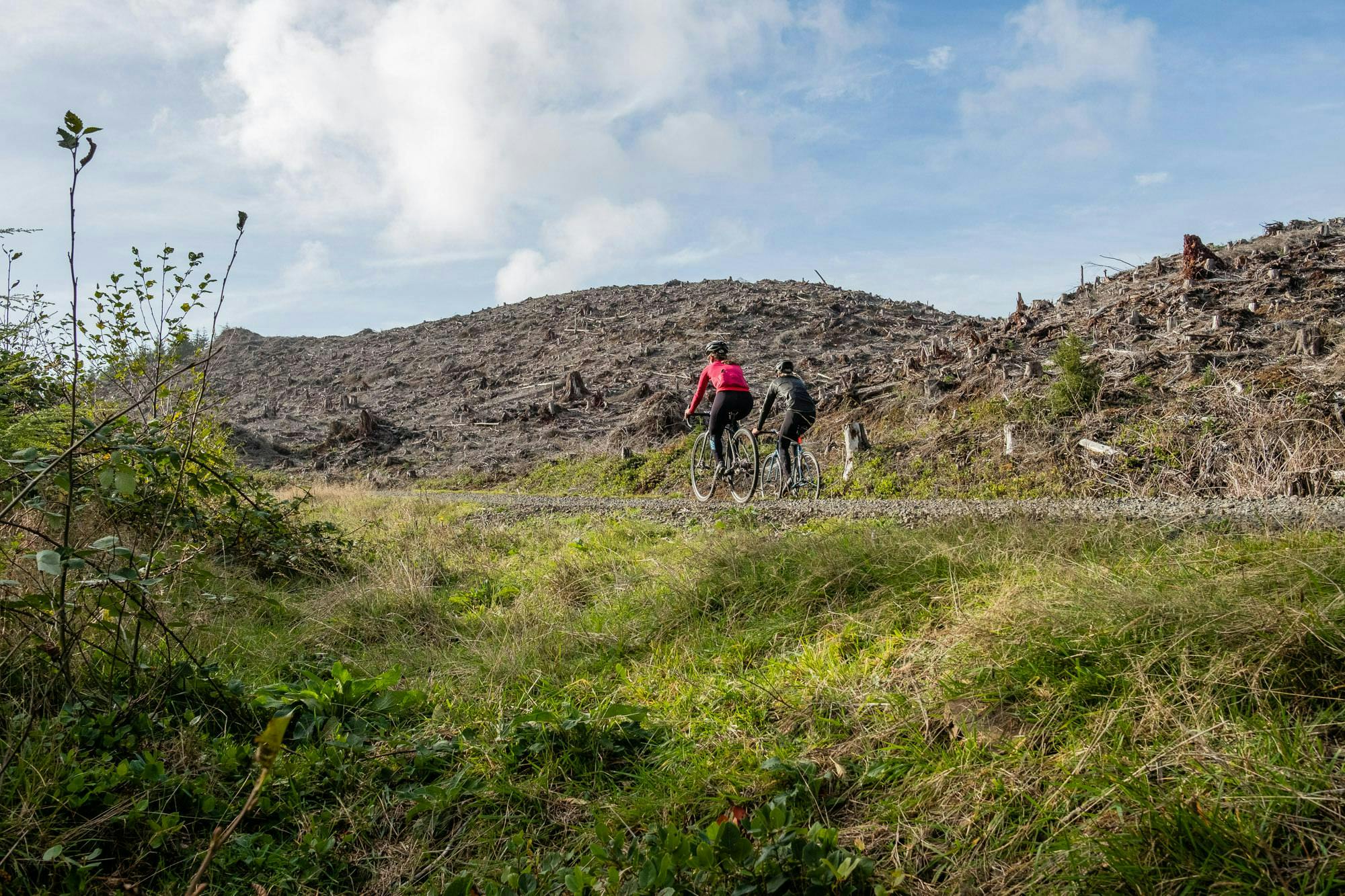
“Sweet surface!” exclaimed Abby, turning back in the saddle and gesturing for Rob and me to catch up. Cycling past an invitingly open gate led us around a corner and straight into the shadow of two enormous hills, bristling with the sad stumps of a thousand former trees. The gravel road forked a few metres ahead into well-used logging roads, of which Wahoo indicated we should take the left fork straight up the hill. Feeling a touch like Frodo following Gollum into Shelob’s lair we pressed on, and up.
“It’s making those funny noises again,” I said to no-one in particular, pointing at the now merrily bleeping GPS device on my handlebars midway through the climb.
“Maybe it’s broken?” suggested a fresh-sounding Abby, drawing alongside as we made a final out of the saddle effort to put the hill behind us. Ahead, the trail snaked along a ridge before wandering up and out of sight.
“Guys, this hill,” panted Rob, finally joining us at the top, “it’s killing me. That Wahoo – I think, I think it’s gone full HAL 9000.”
“It’s certainly chatty,” I said, flicking through the pages to see where it wanted us to go, silently hoping the monochrome interface wouldn’t suddenly switch to a pulsing red dot. But the GPS signal was stable. Zooming out on the map showed a clear route that we only had to follow to arrive neatly in the midst of the Ecola State Park. Except according to Google and Ride With GPS, that wasn’t possible.
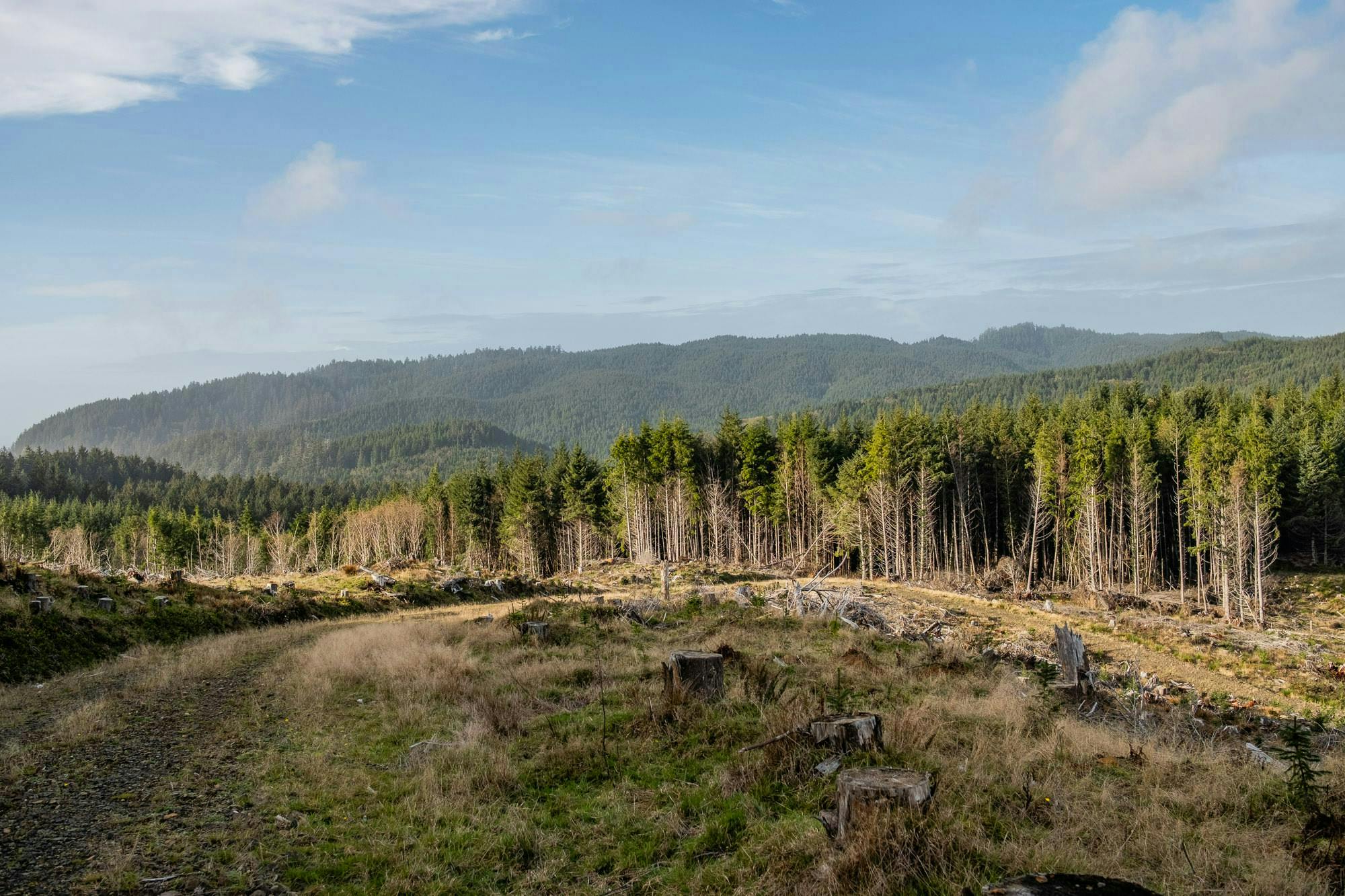
Unwilling to lose the height we’d gained, we pressed on, passing eons-old stumps many hands wide and tall thickets of as yet unfelled trees set in stark relief against the close-cropped hillsides around us.
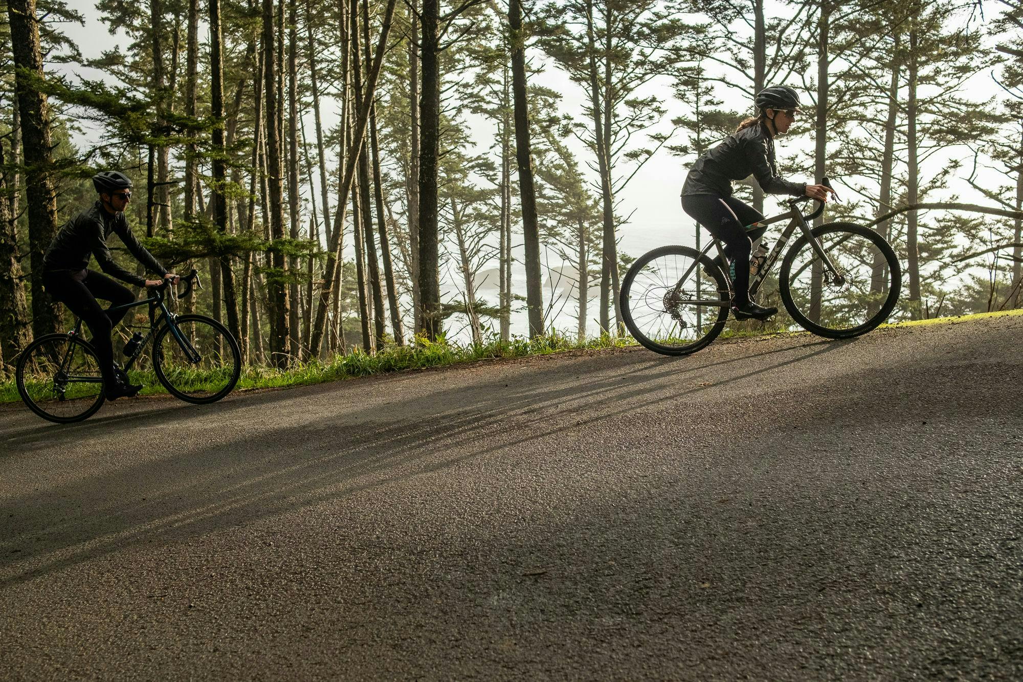
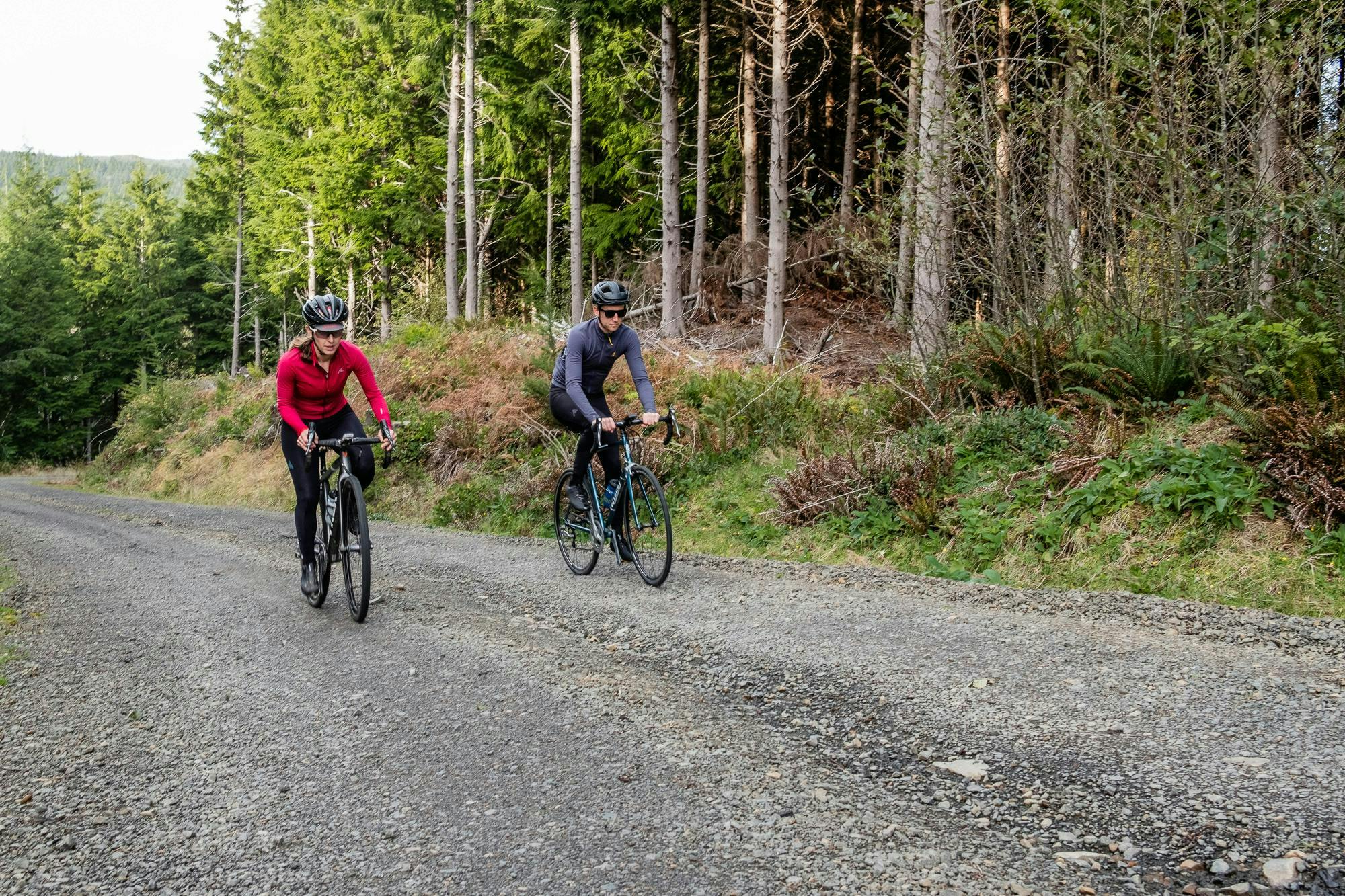
As we delved deeper into this must-have-been-mighty forest, the gravel began to change, turning from smooth hardpack into a tricky mix of small stones, rocks and half-submerged roots which taxed even Abby’s Trek CX bike, let alone Rob’s 23-tired Lemond racing bike. Before long we were surfing more than cycling the descents, shifting weight to stay upright while keeping a keen eye to avoid the sharper rocks that could spell disaster. Eventually, the Wahoo faithfully signalled a particularly sharp right, and we turned our handlebars towards a grassy descent, plunging beneath the treeline to enter a canopied world of vivid mossy green, all the more inviting after the taxing asperity of the logging roads. A shimmy down the side of a familiar-looking gate, and we emerged onto the smooth tarmac of Ecola State Park. “Oh man, that was awesome!” Rob exclaimed, buoyed by the descent and the thought of fish and chips at Cannon Beach’s Pelican Brewery to end the day. But before that, we had to reconnect with the Goonies.
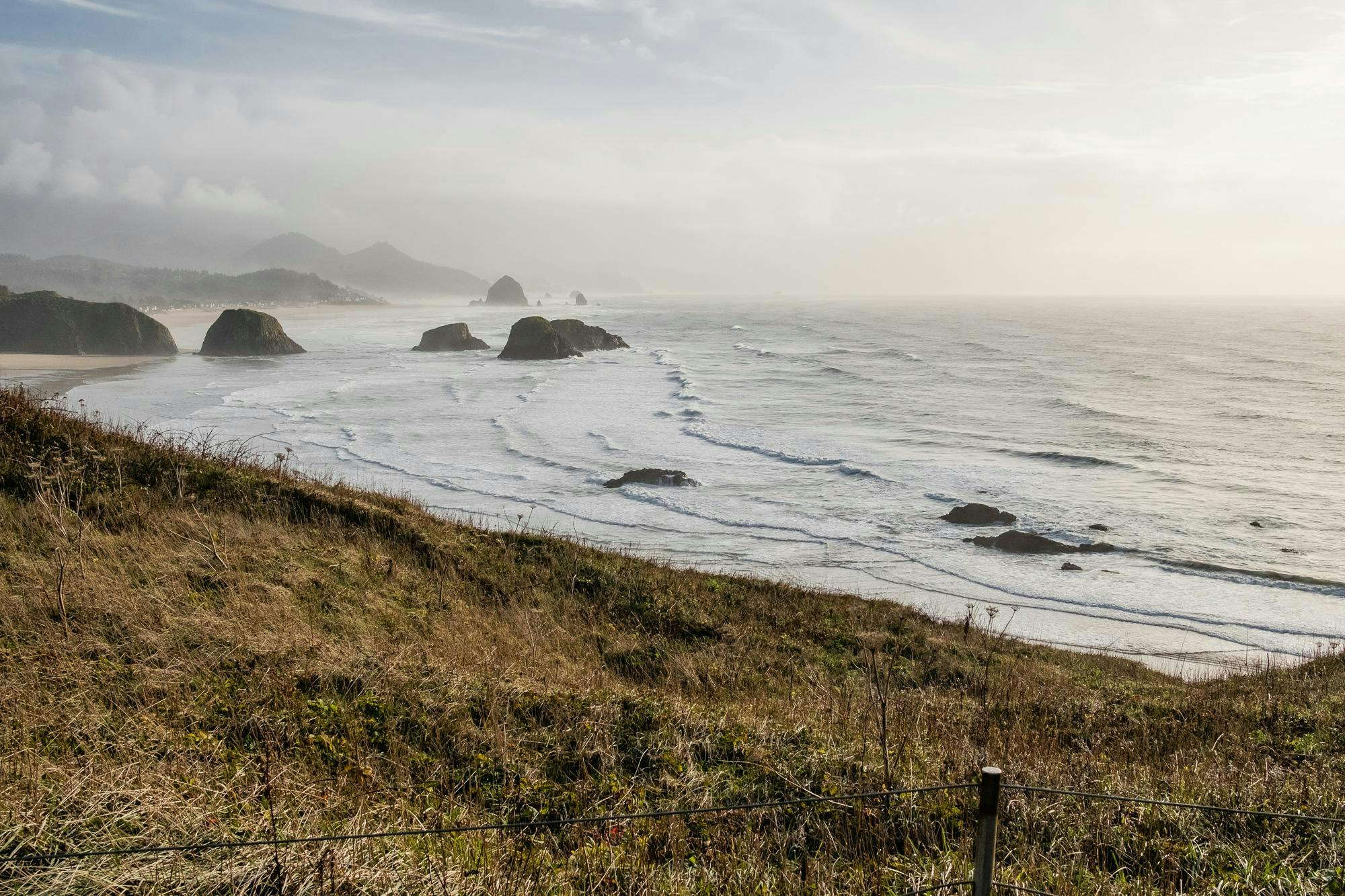
The surprise gravel had brought us a little past our destination of Ecola Point, so turning left and away from Indian Point (scene of the final moments in Point Break – the original, not the crappy remake), we made our way to the place where the Goonies use the rock key found in Mikey’s dad’s attic to line up the outcroppings to find the entrance to the cave.
Descending to Ecola Point on a bike is a trip; from sun-dappled roads to suddenly expansive sea views in the blink of an eye. Over on the beach, the big draw is Haystack Rock, a 235-foot (72-meter) piece of shoreline magma that looms large in the movie. But bring your eyes back to Ecola Point, look to the right, and with a little imagination, you can still see the Fratelli’s bar hide-out, a set built for the movie and disassembled once production concluded. Ecola State Park is indeed a magical place, movie or not, and as the sun descended we took the opportunity to squeeze off some shots, and look back on what had been a varied, if not overly long day.
Bundling ourselves in the support car (key questions to ask of any partner before tying the knot: would you be willing to pilot a cycling support car for no material reward?) we weaved our way down towards Cannon Beach and the warm welcome of Pelican Brewery.